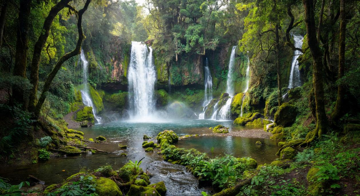
There’s something unforgettable about discovering a waterfall you had to truly work to find. If you’re searching for a practical guide to hidden waterfalls hiking, you’re likely looking for more than scenic photos — you want real strategies for finding secluded falls, navigating lesser-known trails, and staying safe while exploring off the beaten path.
This article breaks down exactly that. You’ll learn how to read terrain features, recognize natural “shift signals” in the landscape, use smart trail navigation techniques, and prepare with essential camp setup and safety basics. Whether you’re new to backcountry exploration or ready to venture beyond marked paths, this guide is designed to help you explore confidently and responsibly.
Our insights draw from extensive field experience in wilderness survival, trail navigation, and outdoor exploration strategy — so you’re not just getting inspiration, but practical, field-tested guidance you can rely on when it matters most.
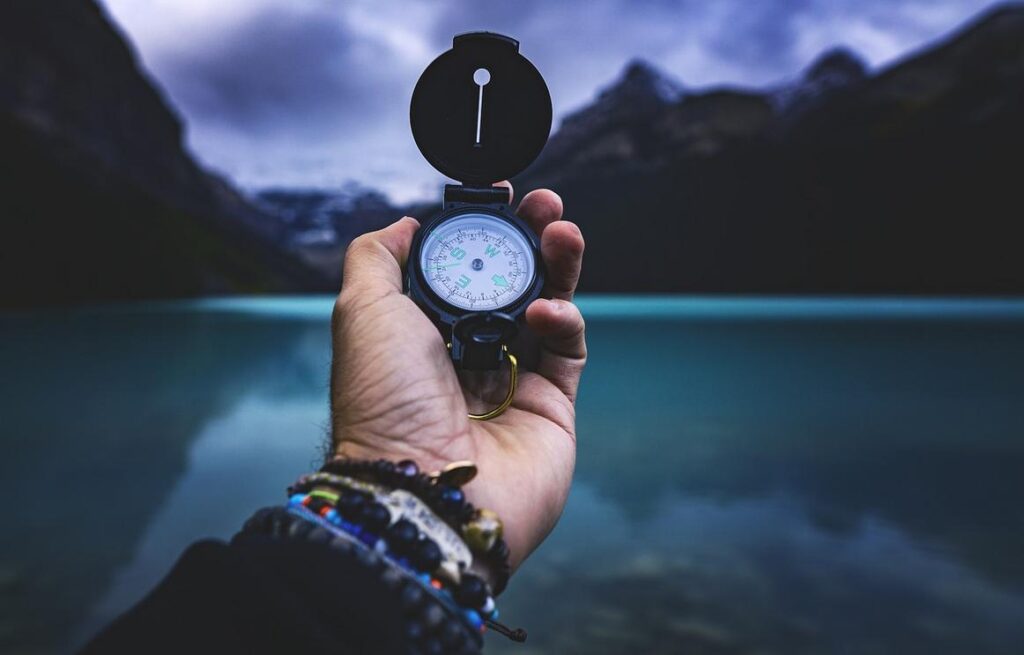
Most hikers chase the same postcard waterfalls, then complain about the crowds. Here’s a contrarian thought: the problem isn’t popularity—it’s predictability. If you rely on trail maps alone, you’ll only find what’s already been found. Instead, learn to read the land. Notice contour lines tightening on a topo map, listen for faint water over granite, follow game trails that parallel creeks. However, don’t romanticize bushwhacking; preparation beats bravado. Carry a compass, mark exit bearings, and turn back before fatigue sets in. Hidden waterfalls hiking rewards patience, not ego. Crowds fade when curiosity and skill replace convenience. Solitude must be earned.
Reading the Landscape: How to Spot “Shift Signals” for Hidden Water
Finding secret water sources isn’t luck—it’s pattern recognition. When you learn to read shift signals (subtle environmental changes that hint at water nearby), every hike becomes more intentional and rewarding.
Understanding Topography
Contour lines on a map show elevation changes. When lines bunch tightly together, that’s a steep gradient; when they form V-shapes pointing uphill, they often mark valleys where water flows. Spotting these features helps you predict where streams drop or pool—saving time and energy (and a lot of wandering in circles).
Vegetation Clues
Look for riparian zones—lush corridors of ferns, mosses, and willows that thrive in moisture-rich soil. These plants act like neon signs in the wild. Even in dry seasons, greener patches often signal underground flow. The benefit? You move with purpose instead of guesswork.
- Dense moss on rocks
- Cooler air pockets
- Insect activity at dusk
Auditory Signals
Pause. Listen. In dense woods, sound travels farther than sight. The faint rush of moving water can guide you more accurately than your eyes.
Geological Indicators
Gorges and escarpments funnel water downward, creating prime waterfall conditions. Recognizing these formations sharpens your instincts for hidden waterfalls hiking and boosts both safety and discovery potential.
Essential Gear for Unmarked Trail Exploration
Let’s be honest—nothing ruins a backcountry adventure faster than realizing you’re lost with “one bar” of service and blind optimism. That’s why the Navigation Trinity—a physical map, a compass, and a GPS device—is non-negotiable. A topographic map (a detailed map showing elevation changes) gives you the big picture. A compass keeps you oriented when trails vanish. And a GPS or phone with offline maps confirms your exact position. Some argue modern GPS makes paper maps obsolete. Until batteries die. Or screens crack. (Cold weather loves draining batteries.) Each tool covers the others’ weaknesses.
Next, footwear. Trail runners are lightweight and breathable, great for maintained paths. However, off-trail terrain is unpredictable—loose scree, mud, hidden roots. Hiking boots provide ankle stability and water resistance, which matters during creek crossings or long bushwhacks. Yes, boots can feel heavier. But rolled ankles feel worse.
Then there’s the “Just-in-Case” kit. Minimalist doesn’t mean careless. Pack a compact water filter (because streams aren’t always safe—CDC notes untreated water can carry Giardia), an emergency blanket for heat retention, a headlamp, basic first-aid supplies, and a signaling device like a whistle. You may never use them. That’s the point.
Finally, your clothing system. Cotton traps moisture and steals body heat. Instead, layer synthetic or wool fabrics that wick sweat and dry quickly. During strenuous climbs or hidden waterfalls hiking, temperature swings are real. Layering lets you adjust fast. Pro tip: always carry one dry layer sealed in a waterproof bag.
Preparation isn’t paranoia. It’s peace of mind.
Mastering Off-Trail Navigation Techniques
When the trail disappears, your skills matter more than your gear. Here’s how to move confidently through trackless terrain.
Pacing and Dead Reckoning
Pacing means counting steps to measure distance. First, measure a 100-meter stretch on flat ground. Walk it several times and calculate your average step count. If it takes 120 steps, you now know 120 steps ≈ 100 meters. Combine this with a compass bearing (your direction in degrees) and you’re practicing dead reckoning—estimating your position based on distance and direction traveled.
Example: If your map shows a pond 300 meters east, walk a 90° bearing for 360 steps. Check terrain features as you go. If things don’t match? Stop and reassess (guessing is how people star in their own survival movie).
Handrailing and Baselines
A handrail is a linear feature—river, fence line, ridgeline—you follow like a guide rope. A baseline is something obvious you can return to if you overshoot.
- Follow a creek upstream to your campsite.
- Use a road as a safety boundary you can retreat to.
This technique pairs perfectly with tips for discovering secret camping locations responsibly.
Aiming Off
When targeting a stream, intentionally aim 5–10 degrees left. When you hit water, you’ll know to turn right. It removes uncertainty—especially useful during hidden waterfalls hiking adventures.
Digital Tools Done Right
Apps like Gaia GPS and CalTopo let you:
- Set waypoints at trailheads
- Track your route in real time
- Study satellite imagery for terrain clues
Pro tip: Download offline maps before leaving service areas. Batteries die; preparation shouldn’t.
Wilderness Safety and Leave No Trace Principles
Exploring off-trail can be rewarding—especially when chasing hidden waterfalls hiking routes—but it demands sharper judgment. First, conduct a risk assessment. Look for unstable ground (loose scree, wet roots), monitor fast-moving weather systems, and track your bearings frequently. In mountainous terrain, conditions can shift within minutes (yes, even when the forecast says “clear”).
Smart Safety Foundations
Before you go, communicate your plan. Leave a detailed route, turnaround time, and emergency contact steps with someone reliable. Search and rescue teams consistently stress that trip plans reduce response time dramatically (National Park Service).
If you feel lost, use S.T.O.P.:
- Stop moving
- Think about your last known point
- Observe terrain and landmarks
- Plan your next move
Equally important, protect fragile ecosystems. Stick to durable surfaces like rock or gravel, pack out everything, and observe wildlife from a distance (Leave No Trace Center for Outdoor Ethics). Ultimately, responsible choices preserve the wild for everyone.
Your next adventure is waiting?
You now have a framework for stepping off beaten path safely. By “landscape reading” (interpreting terrain clues like slope, water flow, and vegetation) and navigation skills, confusing maps become clear.
Start small. Study contours, mark bailout points, and try hidden waterfalls hiking. Plan deliberately—then go.
Find Your Next Adventure Off the Beaten Path
You set out to discover how to plan smarter outdoor adventures and uncover experiences most hikers miss. Now you understand the signals to watch for, the navigation techniques that keep you on track, and the survival basics that make every trip safer and more rewarding.
The truth is, many hikers stick to crowded, overdone routes because they lack the confidence and know-how to go further. That’s how incredible spots stay unseen. Mastering trail navigation, reading terrain clues, and preparing properly are what separate average hikes from unforgettable hidden waterfalls hiking experiences.
Don’t let uncertainty hold you back from the kind of exploration you’ve been craving. Equip yourself with the right strategies, plan your next route with intention, and put these techniques into action.
If you’re ready to explore smarter, stay safer, and uncover breathtaking locations most people never reach, start applying these trail-tested methods on your very next hike. The wilderness is waiting—go find what others walk right past.
 Outdoor Experience Coordinator
Mary Wardestics writes the kind of camp setup hacks content that people actually send to each other. Not because it's flashy or controversial, but because it's the sort of thing where you read it and immediately think of three people who need to see it. Mary has a talent for identifying the questions that a lot of people have but haven't quite figured out how to articulate yet — and then answering them properly.
They covers a lot of ground: Camp Setup Hacks, Eawodiz Trail Navigation Techniques, Hidden Gems, and plenty of adjacent territory that doesn't always get treated with the same seriousness. The consistency across all of it is a certain kind of respect for the reader. Mary doesn't assume people are stupid, and they doesn't assume they know everything either. They writes for someone who is genuinely trying to figure something out — because that's usually who's actually reading. That assumption shapes everything from how they structures an explanation to how much background they includes before getting to the point.
Beyond the practical stuff, there's something in Mary's writing that reflects a real investment in the subject — not performed enthusiasm, but the kind of sustained interest that produces insight over time. They has been paying attention to camp setup hacks long enough that they notices things a more casual observer would miss. That depth shows up in the work in ways that are hard to fake.
Outdoor Experience Coordinator
Mary Wardestics writes the kind of camp setup hacks content that people actually send to each other. Not because it's flashy or controversial, but because it's the sort of thing where you read it and immediately think of three people who need to see it. Mary has a talent for identifying the questions that a lot of people have but haven't quite figured out how to articulate yet — and then answering them properly.
They covers a lot of ground: Camp Setup Hacks, Eawodiz Trail Navigation Techniques, Hidden Gems, and plenty of adjacent territory that doesn't always get treated with the same seriousness. The consistency across all of it is a certain kind of respect for the reader. Mary doesn't assume people are stupid, and they doesn't assume they know everything either. They writes for someone who is genuinely trying to figure something out — because that's usually who's actually reading. That assumption shapes everything from how they structures an explanation to how much background they includes before getting to the point.
Beyond the practical stuff, there's something in Mary's writing that reflects a real investment in the subject — not performed enthusiasm, but the kind of sustained interest that produces insight over time. They has been paying attention to camp setup hacks long enough that they notices things a more casual observer would miss. That depth shows up in the work in ways that are hard to fake.